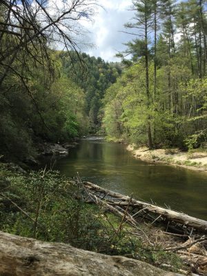
Last year my lunch buddies, Brad and Paul, went up to the far northeast corner of Georgia to find Ellicott’s Rock. This rock was determined to be the three-way border of North Carolina, South Carolina, and Georgia by Andrew Ellicott in 1811. Ellicott was a well-respected surveyor who had already laid out the city of Washington, DC according to L’Enfant’s plans. He was hired by the state of Georgia to correct the location of the Georgia and North Carolina state line 3 miles to the north. Ellicott asked for Georgia to pay for better equipment but they refused. And when Ellicott confirmed the location of the line and kept it in place (he actually missed the correct 35th parallel by about 300 feet to the north), Georgia refused to pay him at all. A couple of years later the three states put together another expedition to settle the issue and another rock, called Commissioners Rock, was chiseled. The area is deep in national forest shared by the three states, in an area now called the Ellicott’s Rock Wilderness. Last year, Paul and Brad were able to find Commissioners Rock, but were unable to find Ellicott’s Rock, which they understood was 500 feet downstream. With more research, they decided that Ellicott’s Rock might be much closer. We decided to go on State Holiday No. 1, formerly known as Confederate Memorial Day. That was yesterday.


